Washington, West Virginia, Wisconsin, and Wyoming sit far apart on the map, and each one carries a story that runs in its own direction.
Keep reading to learn about the US states that start with W and some interesting facts about them.
Washington
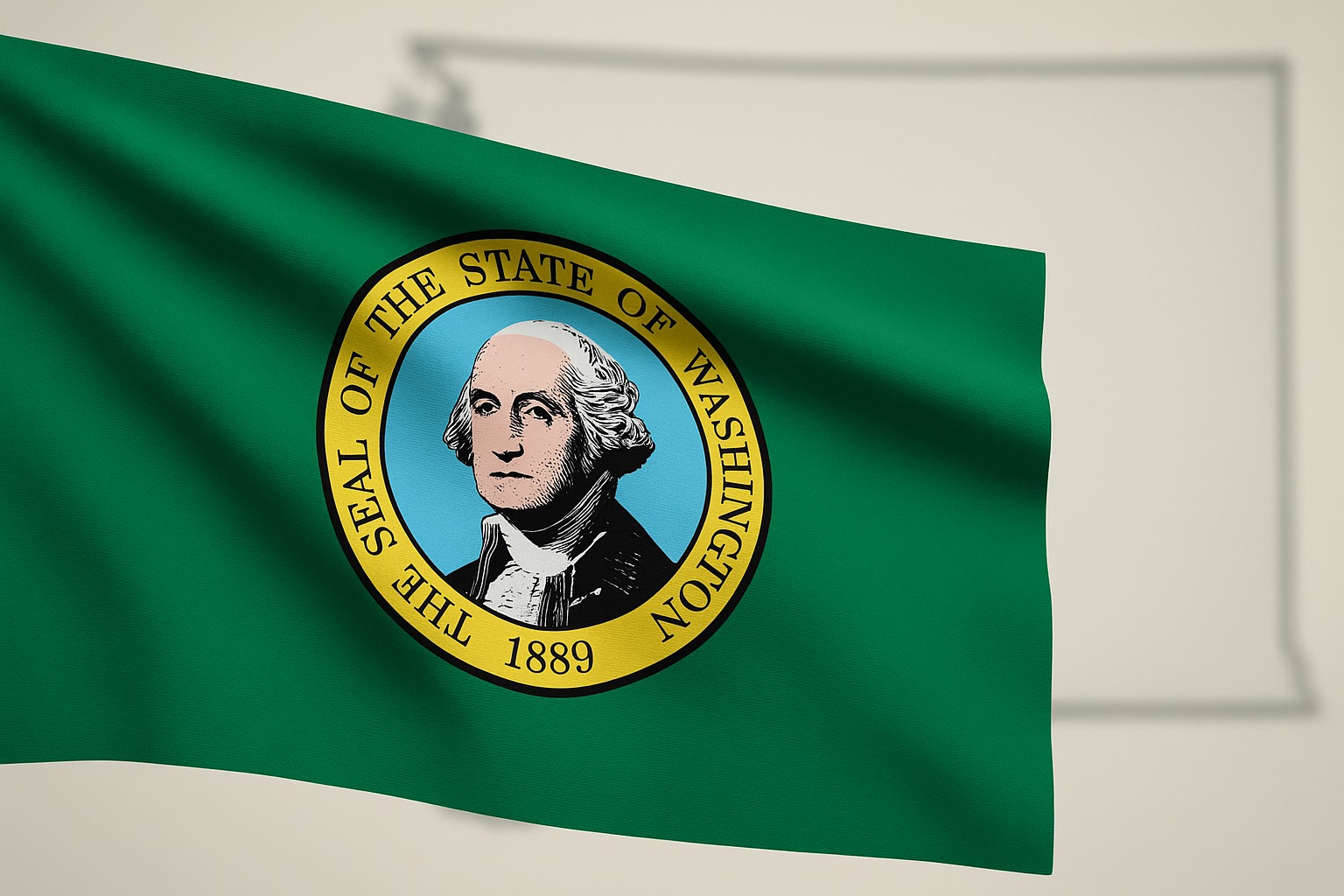
Washington state sits in the far northwest of the country and often feels like two places in one. Wet coastal forests and busy port cities shape the west, while dry plateaus and farm towns define the east.
History
Long before statehood, many Indigenous nations lived and traded in the region, shaping routes, food sources, and place names that still exist today.
European exploration and the fur trade followed in the 1700s and early 1800s, and then larger settlements grew after the Oregon Trail era.
Washington Territory was formed in 1853. Logging, fishing, and shipping built early wealth, especially near Puget Sound.
Railroad expansion tied the area to the rest of the nation, and by 1889, Washington joined the Union as the 42nd state.
In the 1900s, aerospace and military production pushed growth even faster, and later decades brought a tech boom that turned Seattle into a global hub.
Geography
Washington state borders Canada to the north, Idaho to the east, Oregon to the south, and the Pacific Ocean to the west.
The Cascade Range runs north to south and splits the weather and terrain in a dramatic way.
West of the Cascades, mild temperatures, heavy rainfall, evergreen forests, and rugged coastlines dominate.
Olympic National Park and the Puget Sound shoreline are key anchors. East of the range, the land shifts into drier basins and rolling hills, with fertile valleys that support apples, wheat, and vineyards.
Volcanoes shape the skyline, with Mount Rainier standing as the most famous peak.
Surprising Facts About Washington
- The nickname “Evergreen State” comes from dense forests that stay green year-round.
- Washington produces more apples than any other state.
- Puget Sound hosts the largest ferry system in the United States.
- Mount Rainier is one of the most heavily glaciated peaks in the lower 48.
- Seattle became the center of grunge in the 1990s, with local bands and small clubs creating the sound that later spread worldwide.
@fashiongrungepod 🎸 gather round children for your education • I Love The 90s on VH1 📺 #ilovethe90s #grungemusic #vh1 #seattle ♬ original sound – Fashion Grunge Podcast
West Virginia
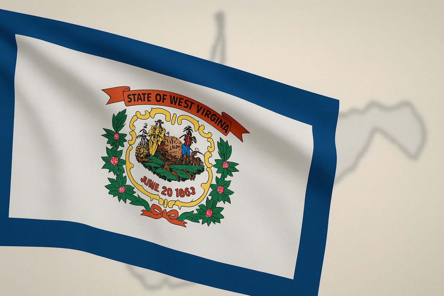
West Virginia is a small state with a strong identity built from mountains, rivers, and a history that started with a split from Virginia during the Civil War.
Life here has long been tied to tight communities, hard work, and land that can be both beautiful and demanding.
This state records the lowest score in the country when it comes to the happiest states in the US.
History
Before European settlement, the area was home to many Indigenous groups who lived along river valleys and mountain routes.
In the 1700s and early 1800s, settlers moved in from the east, drawn by fertile valleys and timber.
When the Civil War began, many western counties of Virginia did not support secession. Leaders in that region voted to form a new state, and West Virginia joined the Union in 1863.
Coal mining soon became the main industry, bringing jobs, railroads, and rapid growth, along with dangerous working conditions and major labor struggles that shaped politics and culture for generations.
Geography
West Virginia sits fully in the Appalachian region and earns the nickname “Mountain State” for good reason. Ridges and valleys cover nearly every part of the landscape, with forests stretching over most of the land.
Major rivers like the New River, Kanawha, and Monongahela cut through steep terrain and create some of the best whitewater and hiking areas in the eastern United States.
Towns are often tucked into narrow valleys, while higher elevations hold remote stretches of wilderness and scenic overlooks.
Surprising Facts About West Virginia
- New River Gorge is one of the oldest river systems on earth, and the area is now a national park.
- More than three-quarters of the state is covered in forest.
- Harpers Ferry played a key role in abolition history and sits where two major rivers meet.
- “Take Me Home, Country Roads” became a global anthem tied to West Virginia imagery, even though the songwriters were not from the state.
Wisconsin
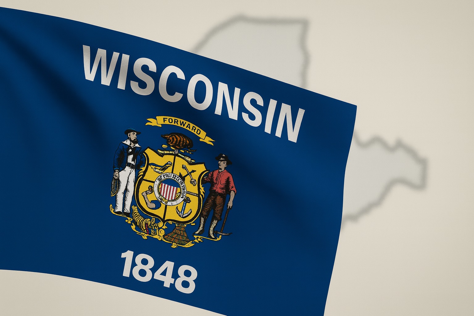
Wisconsin sits in the Upper Midwest and is often linked with lakes, long winters, and a culture built around farming and small-town life.
Many people know it for dairy, but the state has much more to offer than just cheese and cold weather.
History
Indigenous nations lived in the region for thousands of years, with trade routes built along rivers and lake shores.
French explorers and fur traders arrived in the 1600s, followed later by British control. After the American Revolution, the area shifted into United States territory, and settlement increased in the early 1800s.
Wisconsin Territory was formed in 1836. Waves of immigrants, especially from Germany and Scandinavia, shaped towns, language, food, and politics.
Statehood came in 1848 as the 30th state. Farming expanded fast, and dairy production soon became the main driver of the economy, giving Wisconsin its national role as a food producer.
Geography
Wisconsin borders Lake Superior to the north and Lake Michigan to the east, with Minnesota and Iowa on the west side and Illinois to the south.
The land holds a mix of forests, rolling hills, and thousands of lakes left behind by glaciers.
Northern areas feature dense woods and major lake country. Central and southern regions have fertile farmland and river valleys. The Driftless Area in the southwest avoided glacial flattening, so it remains full of steep bluffs and winding streams.
Shoreline towns along both Great Lakes add a coastal feel, even deep in the interior of the continent.
Surprising Facts About Wisconsin
View this post on Instagram
- “America’s Dairyland” produces more cheese than any other state.
- Over 15,000 lakes sit within state borders.
- The first kindergarten in the United States opened in Watertown in 1856.
- The nickname “Badger State” came from early miners who lived in hillside shelters.
- Madison became an early center for Progressive Era reform, shaping politics far beyond the Midwest.
Wyoming
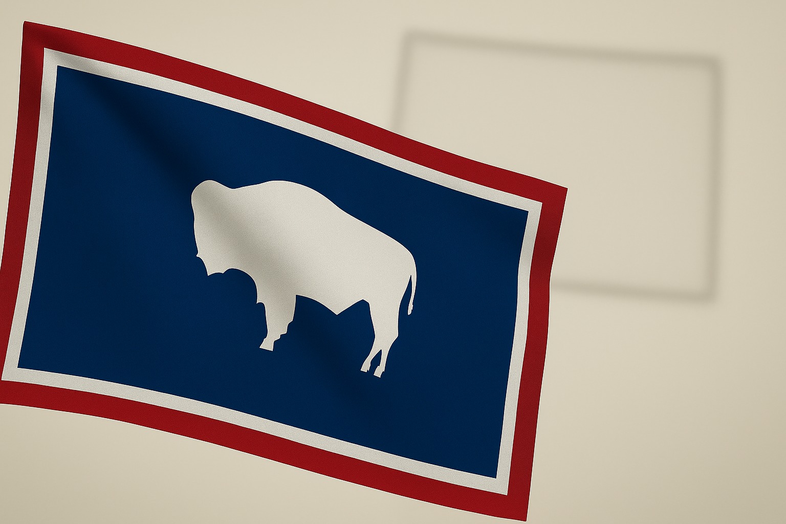
Wyoming feels like the wide-open West in its purest form. Towns are small, horizons stretch far, and much of the land remains untouched.
National parks, ranch country, and high mountain basins give Wyoming a reputation for space and freedom that still holds today.
History
Indigenous nations lived in the region for thousands of years, traveling with seasons and game routes tied to the plains and mountains.
European explorers arrived later, but a large settlement did not grow until the 1800s, when fur trade, railroads, and mining drew more people in.
Wyoming Territory was formed in 1868. Ranching and cattle drives shaped early life, while coal, oil, and mineral booms brought new towns and wealth.
A major moment came in 1869, when territorial leaders granted women the right to vote, long before most of the country.
Wyoming entered the Union in 1890 as the 44th state, keeping that voting law in place and building a national identity around equality.
Geography
The state sits in the Mountain West, bordered by Montana, South Dakota, Nebraska, Colorado, Utah, and Idaho.
It holds two main faces. Western areas rise into the Rocky Mountains, with rugged peaks, alpine forests, and high valleys. Eastern areas flatten into plains and grasslands, with rolling ridges and wide ranch country.
Yellowstone and Grand Teton national parks anchor the northwest corner, while the Wind River Range and Bighorn Mountains add more dramatic terrain in other parts.
The weather can swing hard, with heavy snow in high elevations and dry winds on the plains.
Surprising Facts About Wyoming
- Yellowstone National Park, the first national park in the world, sits mostly in Wyoming.
- Wyoming was the first state to grant women full voting rights.
- Shoshone National Forest became the first national forest in the United States.
- Wyoming has the smallest population of any state, but it ranks near the top for land area.
- Cheyenne Frontier Days is one of the largest and longest-running rodeos in the world.
Final Thoughts
The whole series is now complete with US states that start with W as the last one. My focus all the time was to share trivia facts. That interesting and useful information you never know when you will need. I love geography and watch a lot of documentaries about that topic, which inspired me to write all this in the first place.
I hope you liked the series of US states by letter, and that it will help you get a better grade at school, or win the next pub quiz.
If you missed some of my previous pieces, you can start it all over with the US states that start with A.