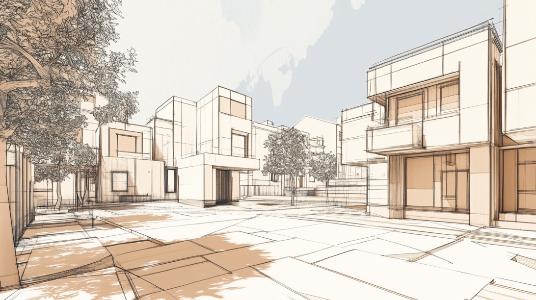
Euclidean zoning is the most widely used form of land-use regulation in the United States. It is responsible for shaping the sprawling, car-dependent suburban landscapes that define much of the American built environment.
Rooted in the 1926 U.S. Supreme Court case Village of Euclid v. Ambler Realty Co., Euclidean zoning separates land uses into distinct zones, residential, commercial, industrial, and so on, each with rigid rules that dictate what can and cannot be built.
But while originally intended to improve public health and order, Euclidean zoning has had serious unintended consequences: urban sprawl, housing unaffordability, racial and economic segregation, environmental degradation, and a weakening of vibrant, mixed-use communities.
Today, urban planners and legislators are reassessing the legacy of Euclidean zoning and introducing reforms that aim to undo the damage.
Key Takeaways
- Euclidean zoning separates land by use, fueling suburban sprawl and car dependency.
- Originated in Euclid v. Ambler (1926), giving cities the power to zone by land use.
- Sprawl increases pollution, infrastructure costs, and habitat loss.
- Strict zoning limits housing, raises costs, and worsens racial/economic segregation.
- Smart growth laws, like Massachusetts’ Chapter 40R, promote walkability and density.
- Reform tools include overlay districts, form-based codes, and by-right zoning.
The Origins: Euclid v. Ambler (1926)
Euclidean zoning gets its name from the landmark Supreme Court case Village of Euclid v. Ambler Realty Co. (1926), which upheld a municipality’s right to divide land into different zones for specific uses. The case involved Euclid, Ohio, and set the legal precedent for zoning codes across the United States.
“A nuisance may be merely a right thing in the wrong place, like a pig in the parlor instead of the barnyard.”
— Justice George Sutherland, writing for the majority
This decision essentially birthed modern zoning, allowing local governments to regulate the use of private land in the interest of health, safety, and welfare.
How Euclidean Zoning Works
Zoning Categories
Euclidean zoning divides land into districts, each permitting only certain types of uses:
| Zone Type | Permitted Uses |
| Residential (R) | Single-family homes, sometimes multi-family |
| Commercial (C) | Offices, retail, restaurants |
| Industrial (I) | Manufacturing, warehouses |
| Agricultural (A) | Farming, related rural activities |
Each zone typically prohibits other uses not listed as “permitted.” For instance, a retail shop cannot open in a residential neighborhood.
The Hierarchical Pyramid
Euclidean zoning often follows a hierarchical model of land use:
| Level | Allowed Uses |
| Residential | Only housing |
| Commercial | Housing + commercial |
| Industrial | Housing + commercial + industrial |
This hierarchy is exclusive upward; you can build a house in an industrial zone, but not a factory in a residential zone.
The Spread and Effects of Euclidean Zoning
1. Urban Sprawl and Automobile Dependence
By mandating separation of uses, Euclidean zoning pushes homes away from workplaces, shops, and schools. This creates sprawl and necessitates car travel for nearly all daily needs.
Impact Snapshot: U.S. Commuting Patterns
| Avg. U.S. commute time | 27.6 minutes (U.S. Census, 2021) |
| % of workers driving alone | 76.4% |
| % using public transit | 5% |
Transportation is now the largest source of greenhouse gas emissions in the U.S., a direct consequence of sprawl, according to the Transportation sector.
2. Housing Affordability and Exclusion

- Allowing only single-family homes
- Imposing minimum lot sizes
- Banning apartments and mixed-use developments
This restricts supply, driving up housing prices and excluding lower-income residents.
Case Study: Racial and Economic Segregation
A 2011 study found a strong correlation between zoning stringency and racial exclusivity. The whitest, wealthiest neighborhoods in the U.S. had the strictest single-family zoning rules.
3. Environmental and Infrastructure Impacts: The Hidden Costs of Sprawl
Euclidean zoning’s rigid separation of land uses directly contributes to urban sprawl, where development spreads horizontally across large areas rather than growing vertically or compactly.
While this may appear benign, giving the illusion of open space and quiet neighborhoods, it has profound environmental and infrastructural consequences that cities are now struggling to address.
Impervious Surfaces and Water Pollution

Sprawling development significantly increases impervious surfaces—areas where water cannot infiltrate the soil.
- Paved roads and highways
- Parking lots
- Driveways
- Rooftops and sidewalks
These surfaces prevent natural absorption of rainwater, leading to more stormwater runoff, which picks up oil, heavy metals, fertilizer, pesticides, and other pollutants as it flows.
- Streams and rivers, causing sedimentation and nutrient overload
- Groundwater sources are reducing drinking water quality
- Wetlands, which are damaged or destroyed by altered hydrology
EPA Stormwater Statistics
| % of urban runoff entering surface waters | Over 70% |
| % increase in runoff from a 1-acre parking lot vs. forest | 16x higher runoff volume |
| Annual cost of stormwater damage in the U.S. | $2.5–$5 billion (EPA estimates) |
- Rain gardens
- Permeable pavement
- Green roofs
- Bioswales
These features are typically impractical in heavily car-dependent suburbs due to their space-intensive, low-density layout.
Infrastructure Costs: Building More for Less Efficiency
Low-density zoning drives up public infrastructure costs dramatically, according to EPA.
- Roads and bridges
- Water and sewer lines
- Storm drains
- Electricity and broadband grids
Cost Comparison: Sprawl vs. Compact Development
| Type of Development | Cost Per Housing Unit for Infrastructure |
| Compact, mixed-use | $10,000–$15,000 |
| Low-density, suburban sprawl | $30,000–$50,000+ |
(Adapted from data by the Urban Land Institute and Smart Growth America)
These extended infrastructure networks also cost more to maintain. Municipalities often underestimate future liabilities—leading to crumbling roads, overburdened sewers, and higher taxes in the long term.
Moreover, sprawling cities experience longer emergency response times, less efficient public transit, and slower broadband deployment, disproportionately affecting lower-income or rural households.
Land Consumption and Habitat Loss

Perhaps one of the most irreversible effects of Euclidean zoning is the sheer amount of land consumed by sprawl. Separating uses and mandating large lot sizes means that more land is used to house fewer people.
- Destruction of forests, farmland, and wetlands
- Loss of biodiversity and disruption of wildlife corridors
- Increased air and noise pollution due to more vehicle miles traveled
Land Use Trends in the U.S.
| Average lot size in 1970 | 12,000 sq ft |
| Average lot size in 2020 | 21,000 sq ft (nearly doubled) |
| U.S. farmland lost to sprawl (1982–2015) | 24 million acres (American Farmland Trust) |
- Habitat fragmentation, which can lead to species extinction
- Reduction in carbon sequestration, as trees and green spaces are replaced with pavement and rooftops
- Heat island effects, where built environments retain more heat, raising temperatures in suburban areas
Climate Change and Transportation Emissions

The environmental toll of sprawl is most evident in the U.S. transportation sector, according to Boston University. Because Euclidean zoning separates residential areas from employment, schools, and commerce, people are forced to drive, even for short errands.
Transportation and Emissions Data
| % of U.S. GHG emissions from transportation | 29% (largest sector, EPA, 2023) |
| % of trips under 1 mile made by car | 60% |
| Daily vehicle miles traveled (VMT) | 3.3 trillion annually in the U.S. |
The carbon footprint of a sprawling household is significantly higher than that of one in a compact, transit-accessible neighborhood.
In fact, according to research from the National Resources Defense Council, households in walkable, transit-rich areas emit 43% fewer GHGs than those in typical suburban settings.
Reform Efforts
Recognizing the harms of traditional zoning, states and cities are exploring zoning reform.
Massachusetts Example: Chapter 40R
Another sad example illustrating the urgent need for statewide #ZoningReform in Massachusetts. We need to make more multifamily housing allowed by right across the Commonwealth! #housing #affordablehousing https://t.co/rPWwSs7Fxq
— Josh Zakim (@joshzakim) March 8, 2024
| Law | Purpose |
| Chapter 40A | Authorizes local Euclidean zoning |
| Chapter 40R | Encourages smart growth zoning districts |
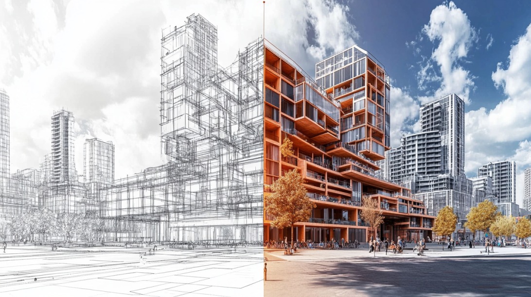
- Mixed-use development
- Affordable housing
- Walkability
- Environmental preservation
Chapter 40R allows overlay districts to sit atop existing Euclidean zones, introducing flexibility without requiring full zoning overhauls.
Tools for Reform
| Tool | Function |
| By-Right Zoning | Allows specific uses without discretionary review |
| Site Plan Review | Administrative review of development details |
| Special Permits | Adds flexibility and innovation to zoning |
| Form-Based Codes | Focus on building form and community impact over use |
These reforms aim to reconnect neighborhoods, diversify housing types, and reduce car dependence.
Euclidean vs. Mixed-Use Cities
| City | Dominant Zoning | % Housing Near Retail | Commute by Car (%) |
| Phoenix, AZ | Euclidean | 18% | 91% |
| Portland, OR | Mixed-Use/Zoning Reform | 47% | 73% |
| Boston, MA | Euclidean + Reform | 39% | 67% |
Conclusion
For nearly a century, Euclidean zoning has dictated how American cities grow. While it served historical goals of order and public health, its rigidity has deepened social divides, undermined sustainability, and made cities less adaptable to 21st-century needs.
As housing crises, climate change, and demands for equity intensify, zoning reform is no longer optional—it’s urgent. From Massachusetts’ Chapter 40R to form-based codes and mixed-use zoning, cities must reinvent land use planning to foster livable, inclusive, and sustainable communities.
Though replacing Euclidean zoning is no small task, the momentum is building. The cities that act now will shape a more just, affordable, and green future.
Read Next: Why are some US cities seeing a decrease in their population?